


North Shore Salmon Habitat Conservation Interpretive Walk
Walk #4 – Rice Lake to Seymour River Hatchery
Route includes Seymour River Hatchery in the Lower Seymour Conservation Area and visit to salmon habitats from Lynn Headwaters to Seymour River Estuary. Walk, run or bike (3.5kms)
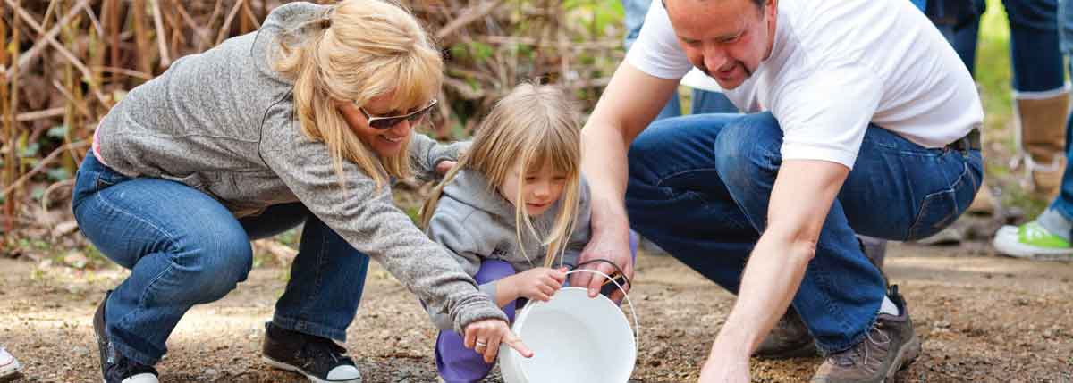
This interpretive walk showcases the Seymour River Hatchery with the newly installed salmon habitat mural that forms a connection between the hatchery and the Lower Seymour Conservation Area (LSCA) interpretive zone along with many salmon conservation initiatives aimed at protecting and enhancing North Shore salmon and important salmon habitat through this urban and wild corridor situated on traditional Coast Salish Territory.


- Seymour River Reservoir / Lynn Headwaters
- Seymour River Hatchery
- ‘Coho Festival’ Education Centre
- Metro Vancouver LSCA ‘Interpretive Zone’
- Seymour River off-channel habitat
- LSCA restored wetland habitat
- LSCA paved bike path
- Fisherman’s Trail
- Rice Lake and Metro Vancouver Filtration Plant
- Seymour River new bridge
- Seymour River canyon and rock slide site
- Coho Festival banners*
- Lower Seymour River salmon pools
- Seymour River Estuary
* Each year August – October Coho Festival banners can be seen along Marine Drive and Keith Bridge identifying the salmon found in streams and rivers on traditional First Nations land and through the three municipalities of the North Shore. The Coho Festival is held on the 2nd Sunday in September and the Coast Salish’s Community ‘Blessing of the Samon’ is a highlight!